To better predict damaging, destructive thunderstorms associated with monsoons in Arizona, Embry-Riddle researchers are deploying drones and a manned airplane, each outfitted with a suite of meteorological instruments, to explore the mostly uncharted complexities of the lower-atmosphere boundary layer.
“We believe existing computer models are not capable of accurately predicting the storm initiation locations because of the fact that we have to make educated guesses in our computer models in the lower atmosphere — the boundary layer,” says Curtis James, Ph.D., professor of meteorology and a co-investigator of the project. “There are a lot of processes that happen down near the ground — moisture and heat from the ground, fine-scale mountain forcings, thermal circulations and turbulent eddies over mountains. We suspect computer models are not handling those processes correctly.”
The research is a collaboration between Embry-Riddle’s Prescott and Daytona Beach campuses, involving faculty from both, representing specialties in meteorology, geographic information
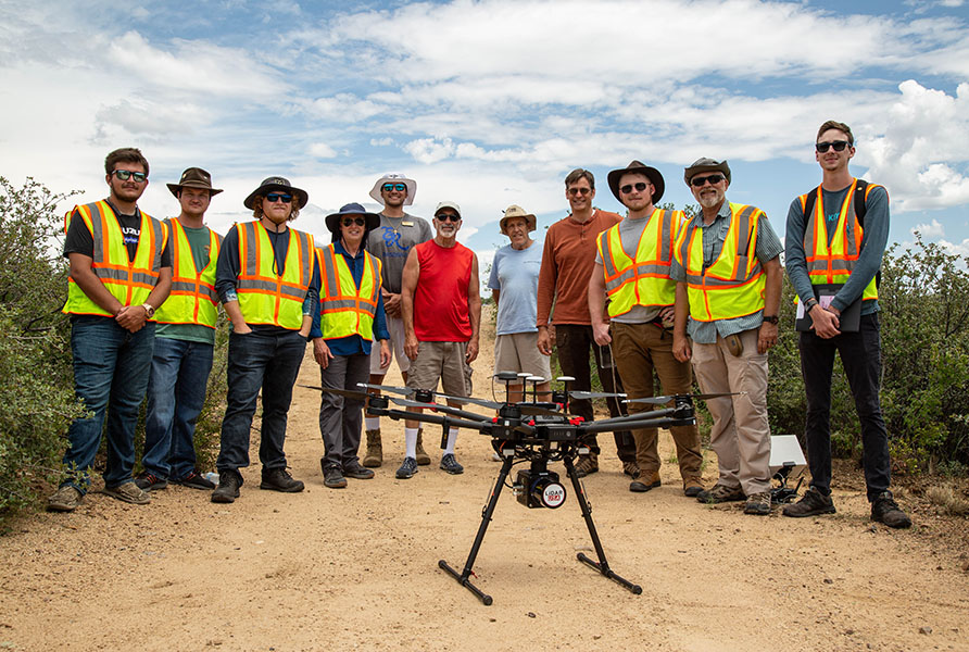
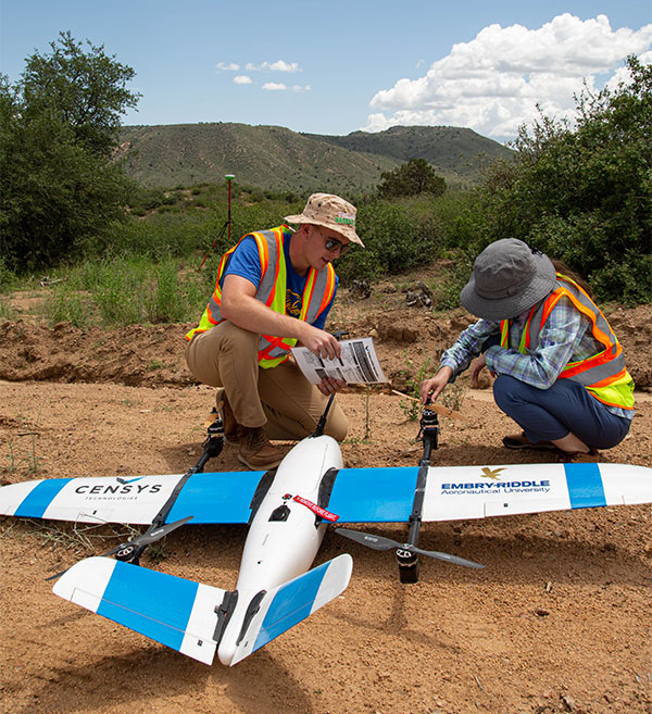
systems, remote sensing and unmanned aircraft systems. Kevin Adkins, Ph.D., associate professor in the Department of Aeronautical Science and a project co-investigator, will transport the drones — which can measure three-dimensional wind speeds, temperature, humidity and air pressure — to Prescott from Daytona Beach.
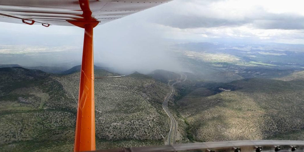
Prescott’s manned aircraft, an Aeroprakt A-22 Foxbat, will be outfitted to take the same measurements over an extended range to gather better data, says Ronny Schroeder, Ph.D., assistant professor in the Department of Applied Aviation Sciences and the principal investigator of the project.
“Instead of one patient with one doctor, you would have a whole hospital,” Schroeder says, referring to the multi-aircraft approach. He adds that existing forecasting models do a poor job of depicting the initiation and propagation of the convection cells that produce thunderstorms, at least partly because measurements from stationary local weather stations located miles apart don’t reflect the meteorological interactions that occur over complex terrain.
A Better Forecast, Driven by Data
The project, which uses low-cost, lightweight sensors tested on the drones flown on the Daytona Beach Campus, will greatly amplify the available data.
“The denser and more frequent the data, the better the forecast,” James says.
Brian Sandford, an unmanned aircraft systems (UAS) major who graduated in May 2021, has been involved with the UAS collection of data.
“This project is important because of the nature of the data we need to collect. We need a series of data sets from morning to afternoon over several sites relatively close in time to each other, and a drone is a cost-effective and reusable platform,” Sandford says.
Bailey Cortright, a UAS major entering his senior year, will be working with the data collected during the project.
“The work that I will be doing comes in the later stages, when I will work with the wind and temperature data in post-processing,” Cortright says. “I will use ArcGIS Pro to represent the data in a 3D space and analyze how it changes over time. Converting these irregular wind measurements into a uniform grid will be a crucial part of this process, as it will allow us to feed the data into the weather analysis software. This will allow us to study the monsoon conditions and how they form and mature in northern Arizona.”